WHY I'M BUILDING THIS

The latest strip info
is buried in chat groups.

The condition of a strip changes all the time, with the rain and the animals and whenever a grader has been through. Usually somebody already knows how it is looking, but that knowledge is sitting in a WhatsApp group that visiting pilots cannot get into. SkyTribe takes the same information and puts it on one map that anyone can search.
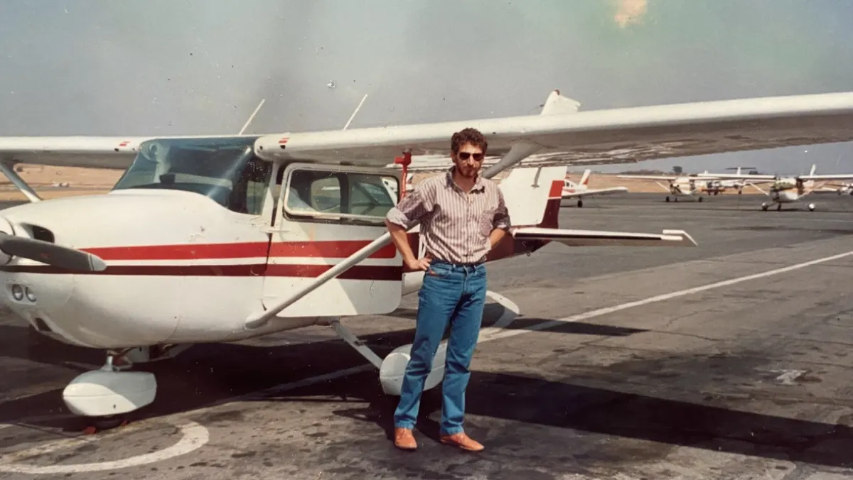
Mark Dawe, the founder's father, photographed beside his aircraft in Namibia
MARK DAWE · NAMIBIAN AVIATOR
THE AIRCRAFT

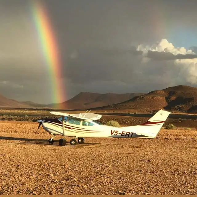
My father left behind a Cessna 182. I was building an aircraft scheduler for renting out our aircraft, and ended up running the idea past a family friend who is also a pilot. He mentioned there was a bigger problem worth fixing first.

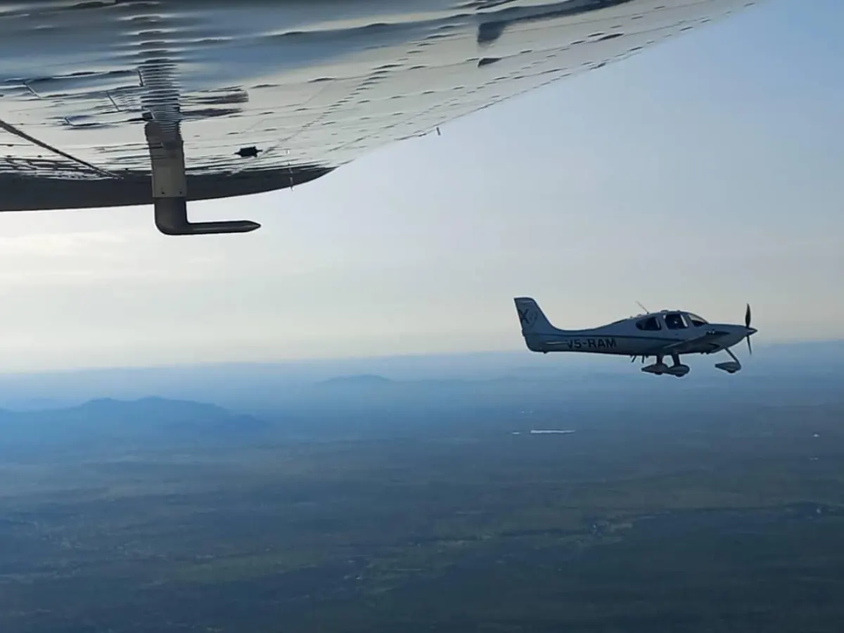
A remote unpaved Southern African bush strip from the air
THE GAP

What he described is something every pilot has run into. When you are planning a flight into a rural strip, you end up asking the same few questions about whether it is still landable, whether there is anything in the way on the approach, and whether there is anyone around if you need fuel. Somebody usually knows the answer, but because it is sitting in a WhatsApp group, the same questions keep getting asked.

A row of light aircraft parked at a Namibian airfield
THE TRIBE

SkyTribe is my attempt to fix that for the pilots who fly into these places. When you are heading to a particular strip, it should be easy to see how it is doing, kept up to date by the people who actually land there.

— ALON DAWE · FOUNDER